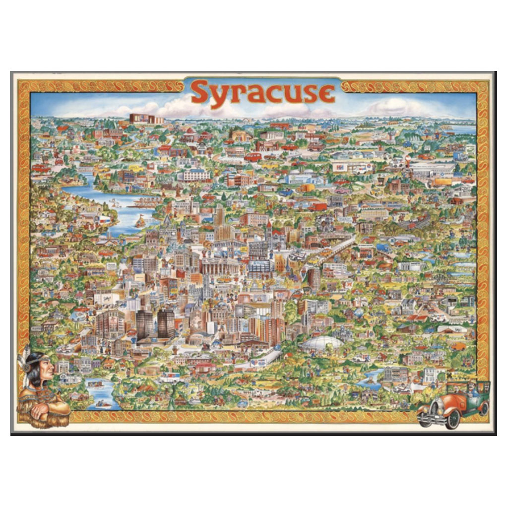
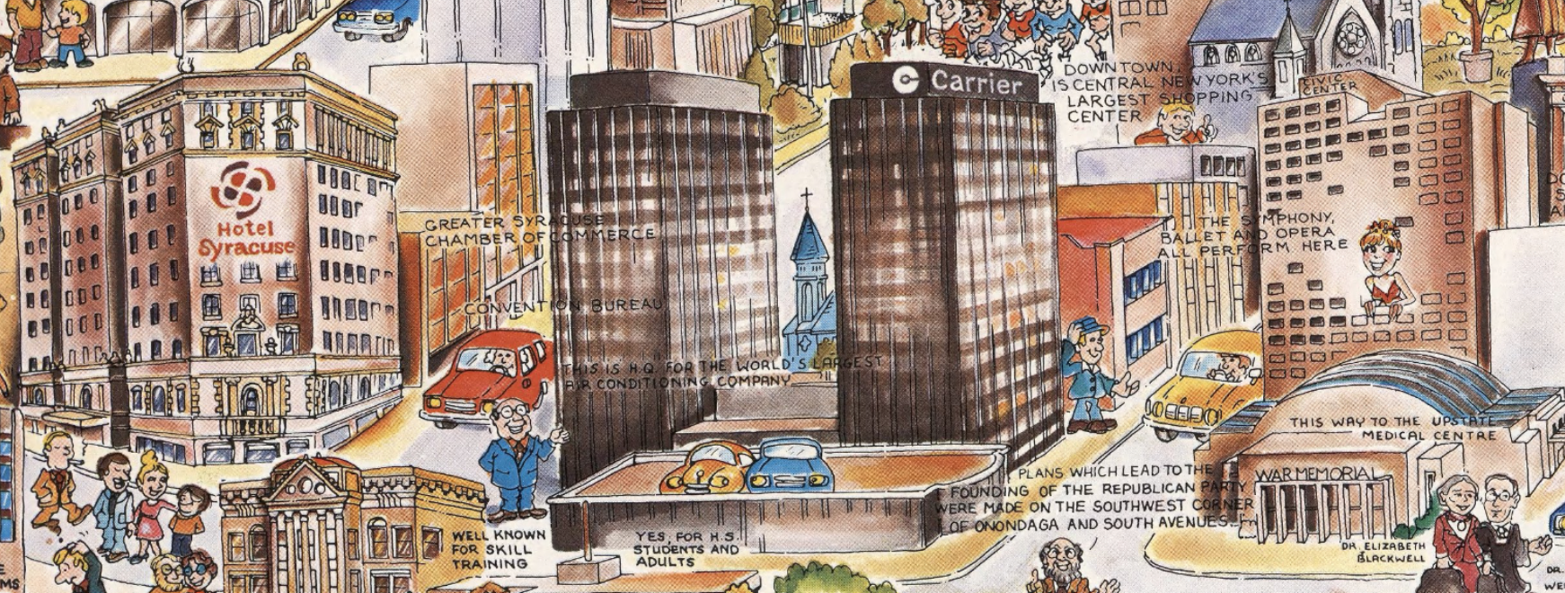

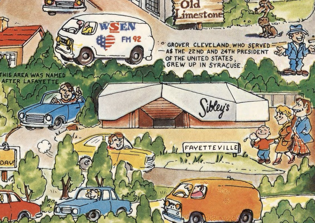


A “MUST HAVE” for any Syracuse “ex pat” or anyone feeling nostalgic about their Salt City. From night clubs and restaurants to department stores and hotels – this a great walk down memory lane.
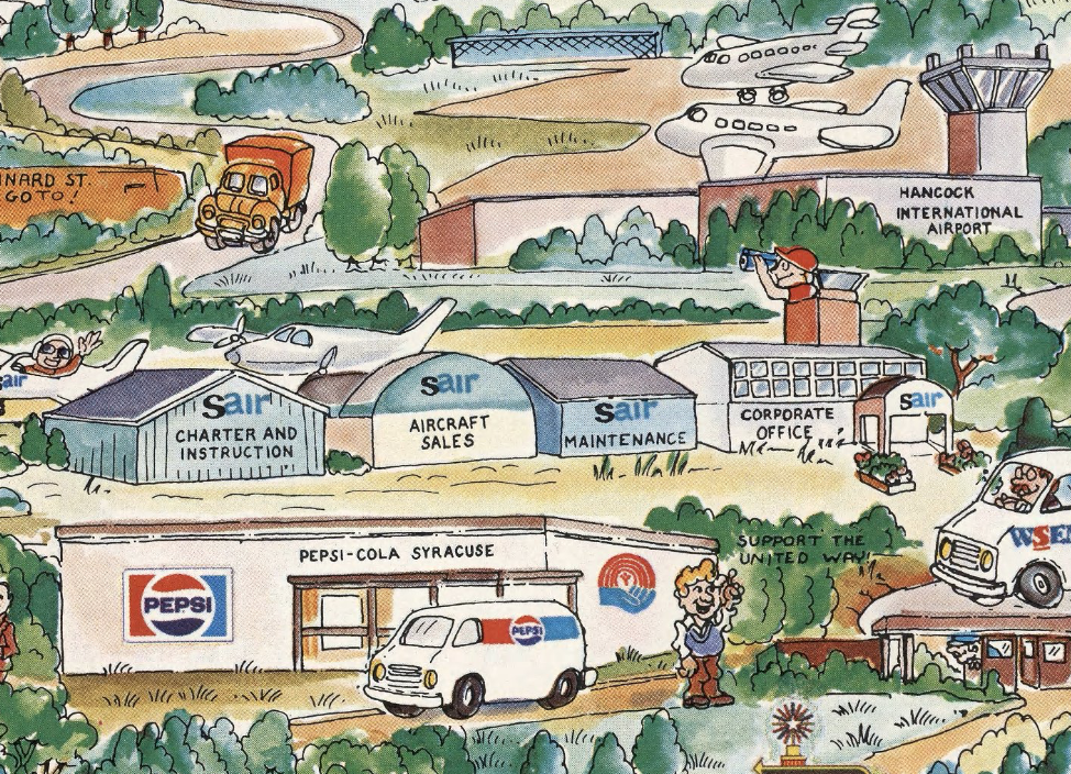
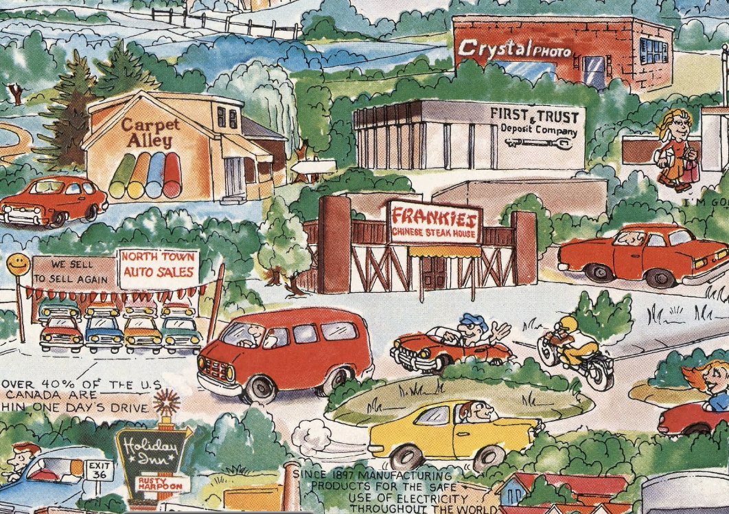
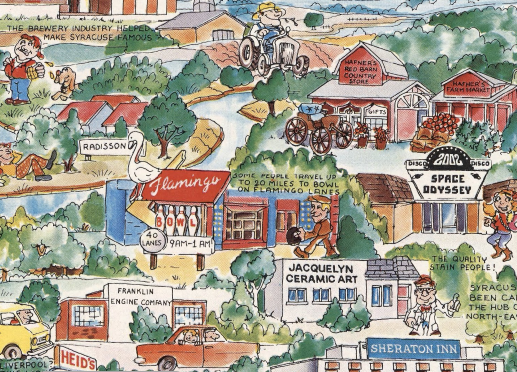
The map is a vibrant, detailed illustration that offers a whimsical yet informative view of Syracuse, New York. It employs a bird’s-eye perspective, allowing viewers to see a wide array of buildings and landscapes. The style is illustrative and colorful, with a focus on creating a lively and engaging representation of the city. The map is filled with descriptive notes, figures, and various points of interest, making it both a visual delight and an informative tool.
Notable Features:
– Landmarks and Buildings: The map includes detailed illustrations of significant Syracuse landmarks and buildings, such as local businesses, cultural institutions, and government buildings.
– Descriptive Notes: Scattered throughout the map are notes that describe various points of interest, adding depth and context to the visual elements.
– Figures and Activities: The inclusion of figures engaged in various activities, such as sailing or visiting parks, adds a dynamic and lively feel to the map.
– Native American Imagery: At the bottom corners, there are vignettes of a Native American, which serve as a nod to the historical roots of the region.